Birders Needed!
2022 has been a long, and fun year, but it’s finally coming to an end. Fortunately, December gives us a nice final “hurrah” with the holiday season, a time of decorative trees & candles, hot chocolate, and most importantly, bird counting! The Christmas Bird Count, the National Audubon Society’s annual bird census, is right around the corner, and as always, the San Fernando Valley Audubon Society will be joining other Audubon chapters across the western hemisphere to help gather critical data on bird populations for National Audubon’s 123rd annual CBC. The San Fernando Valley has been providing CBC data continuously since 1957, so this will be our 66th year participating. Over the years, we have tracked some interesting changes in bird populations just within our count circle as The Valley has transitioned from an agricultural area into a more residential one.
On last year’s count, we totaled 136 species and 17,860 individuals, somewhat higher than our average of 129 species and 15,721 individuals over the last 20 years. (see February-March 2022 Phainopepla for more details)
In order to properly understand the bird populations in the San Fernando Valley, we need to cover as many parks as possible. CBC participation is free and open to all, and extensive birding experience is not a prerequisite, only a willingness to come out and count — wind, rain, or shine. Ten locations that are putting together teams are listed below. If you are unable to join an existing CBC team, you may count on your own at your backyard feeders, local parks, and anywhere else in your neighborhood, as long as you’re within our survey area, which is a 7.5 mile radius of Balboa and Nordhoff (a map of the CBC circle is available here. Please report all bird species, individual numbers of each species, and the time you spent birding to Alexander deBarros by email, alexanderdebarros@yahoo.com no later than January 3, 2023. You may also post your sightings on eBird, but please email the checklist to ensure it gets counted.
Open count sectors are listed below. Please be sure to pack lunch and water.
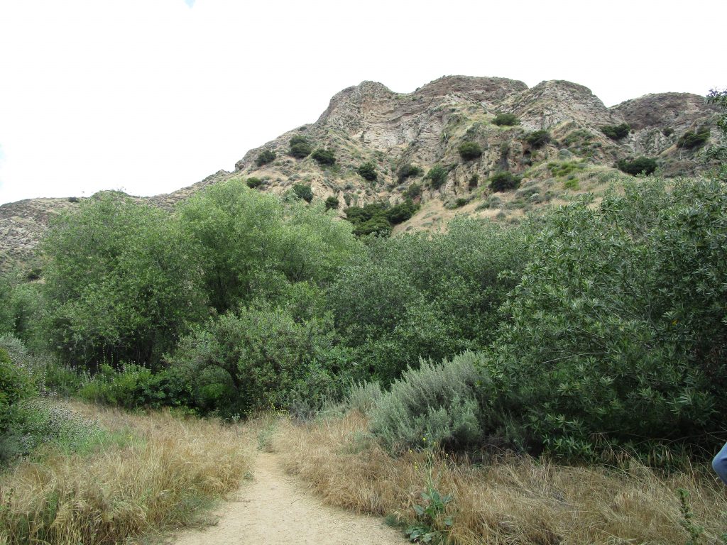
O’Melveny and Bee Canyon Parks. Meeting time: 8:00 AM
Exit the 118 fwy at Balboa Blvd, and head north (turn right if you’re on the westbound side, left if you’re on the eastbound side). Turn left on Sesnon Blvd and continue 0.5 miles to the O’Melveny Park parking lot. (34.307645 N, 118.511220 W)
Other stops: none
Terrain: mostly flat, some light hills
Approximate distance: 3.50 miles
Leader: Paula Orlovich, (747)-237-3720
Hansen Dam. Meeting time: 7:30 AM
Exit the 210 fwy at Osborne St/Foothill Blvd, and head west (turn right if you’re on the eastbound side, left if you’re on the westbound side). Continue for 690 ft, then turn left into the parking lot. (34.272930 N, 118.383621 W)
Other stops: none
Terrain: mostly flat, some sections may be muddy
Approximate distance: 8.67 miles
Leader: Eric Shaphran, emshaph@umich.edu
Sepulveda Basin Wildlife Reserve and Lake Balboa. Meeting time: 7:30 AM
Exit the 405 fwy at Burbank Blvd, and head west (turn left if you’re on the northbound side, right if you’re on the southbound side). Turn right on Woodley Ave, and take the 2nd possible right into the wildlife reserve. Continue for 600 ft, and turn right into the parking lot. (34.179670 N, 118.479616 W)
Other stops: none
Terrain: flat
Approximate distance: 6.50 miles
Leader: Kris Ohlenkamp, kris.ohlenkamp@sbcglobal.net
Brand Park and San Fernando Mission. Meeting time 8:00 AM
Exit the 5 fwy or the 405 fwy at San Fernando Mission Blvd and head east (turn right if you’re on the northbound side, left if you’re on the southbound side). Turn right onto Laurel Canyon Blvd, and right again onto Brand Blvd. Continue 0.5 miles to the Brand Park parking lot. (34.271976 N, 118.456883 W)
Other Stops: Carey Ranch Park
Terrain: flat at Brand and Carey Ranch Parks, San Fernando Mission done by car
Approximate distance: 1.5 miles walking, 3.6 miles driving
Leader: Heather Medvitz, jhmedvitz@yahoo.com
Hansen Dam Golf Course. Meeting time 8:00 AM
Exit the 5 fwy at Osborne St and head east (turn right if you’re on the northbound side, left if you’re on the southbound side). Turn right onto Glenoaks Blvd, and take the 1st possible left towards the parking lot. Meet in parking lot. (34.258229 N, 118.390434 W)
Other stops: Pacoima Wash Natural Park, Sylmar Rec Center
Terrain: flat
Approximate distance: 3 miles
Leader: Rob Brown, robrown8288@gmail.com
Bull Creek and Sepulveda Sports Complexes. Meeting time 8:00 AM
Exit the 101 fwy at Balboa Blvd and head north (turn right if you’re on the northbound side, left if you’re on the southbound side). Continue for 0.7 miles, then turn right into Anthony C. Beilenson Park. Take the first possible left into the parking lot. (34.181266 N, 118.498896 W)
Other stops: none
Terrain: flat
Approximate distance: 4.6 miles
Leader: Rose Leibowitz, roselbirds@gmail.com
L.A. River, Tujunga Wash, and Valley College. Meeting time 7:00 AM
Exit the 405 fwy at Burbank Blvd and head east (turn right if you’re on the northbound side, left if you’re on the southbound side). Turn right onto Sepulveda Blvd, continue for 0.75 miles, then turn left onto Valleyheart Dr immediately after crossing the L.A. River. Meet at the start of the bike path. (34.161272 N, 118.465744 W)
Other stops: none
Terrain: flat
Approximate distance: 16.7 miles
Leader: Taylor Driggs, gtaylordriggs@gmail.com
Note: This route is done using bicycles. You must bring a bike.
Reseda Park and small Encino area parks. Meeting time 8:00 AM
Exit the 101 fwy at Reseda Blvd and head north (turn right if you’re on the northbound side, left if you’re on the southbound side). Turn right onto Victory Blvd, continue 800 ft, then turn left into the parking lot. (34.186859 N, 118.532932 W)
Other stops: Encino Park, Los Encinos State Historic Park, Holy Spirit Retreat Center
Terrain: flat
Approximate distance: 3.5 miles
Leader: Pat Bates, batesbird@gmail.com
Chatsworth Hillside Parks. Meeting time: 8:00 AM
Exit the 118 fwy at De Soto Ave and head south (turn left if you’re on the westbound side, right if you’re on the eastbound side). Turn right onto Chatsworth St, and right again onto Topanga Canyon Blvd. Continue for 0.33 miles, and meet on the east side of Topanga Canyon Blvd, at Stoney Point Park. (34.269635 N, 118.605976 W)
Other stops: Chatsworth Park North, Chatsworth Park South, Oakwood Cemetery, Chatsworth Oaks Park, Chase Park
Terrain: moderate hills at Stoney Point and Chatsworth Oaks, light hills at other parks, Oakwood Cemetery done by car
Approximate distance: 6.5 miles walking, 1.8 miles driving
Leader: Robin Share, robindshare@gmail.com
Limekiln, Moonshine, and Mormon Canyons. Meeting time: 7:00 AM
Exit the 118 fwy at Porter Ranch Dr and head north (turn right if you’re on the westbound side, left if you’re on the eastbound side). Turn left onto Sesnon Blvd, then right onto Mason Ave. Meet at the end of Mason Ave. (34.301091 N, 118.579732 W)
Other stops: none
Terrain: moderate to strong hills
Approximate distance: 7.5 miles
Leader: Richard Armerding, rarmerding@gmail.com
Wilbur-Tampa Park and Aliso Canyon. Meeting time 8:00 AM
Exit the 118 fwy at Tampa Ave and head north (turn right if you’re on the westbound side, left if you’re on the eastbound side). Turn right onto Wilbur Ave. Meet on the north side of Wilbur Ave, just east of Tampa Ave. (34.288309 N, 118.556166 W)
Other stops: none
Terrain: moderate hills
Approximate distance: 7 miles
Leader: Charlie Wilken, cswilken@gmail.com
Devil’s Canyon Trail. Meeting time 7:30 AM
Exit the 118 fwy at De Soto Ave and head south (turn left if you’re on the westbound side, right if you’re on the eastbound side). Turn right at Chatsworth St, and right again at Canoga Ave. Meet on the east side of Canoga Ave, just past the 118. (34.275745 N, 118.595351 W)
Other stops: none
Terrain: light to moderate hills
Approximate distance: 5.5 miles
Leader: Alexander deBarros, alexanderdebarros@yahoo.com